HistoricARGuide – A markerless approach for displaying historic location-based Augmented Reality content
Abstract
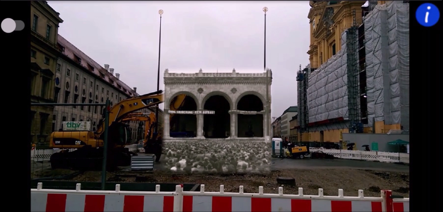
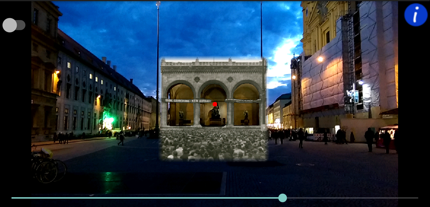
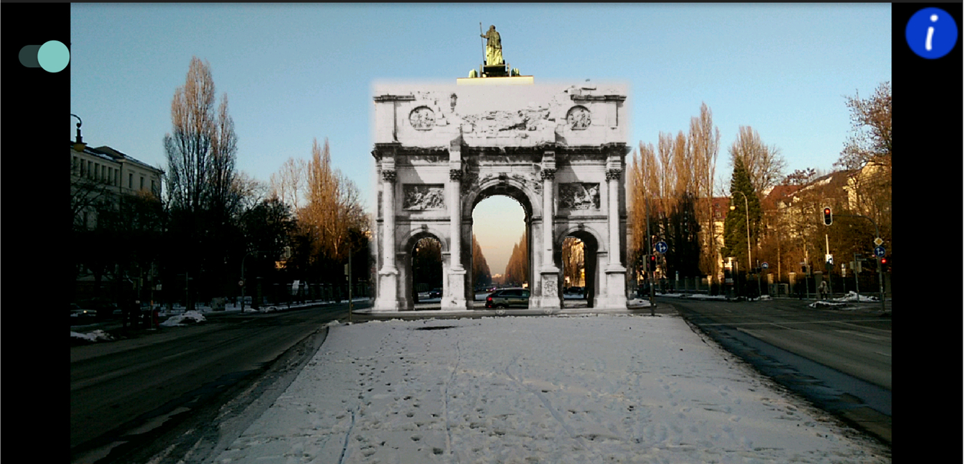
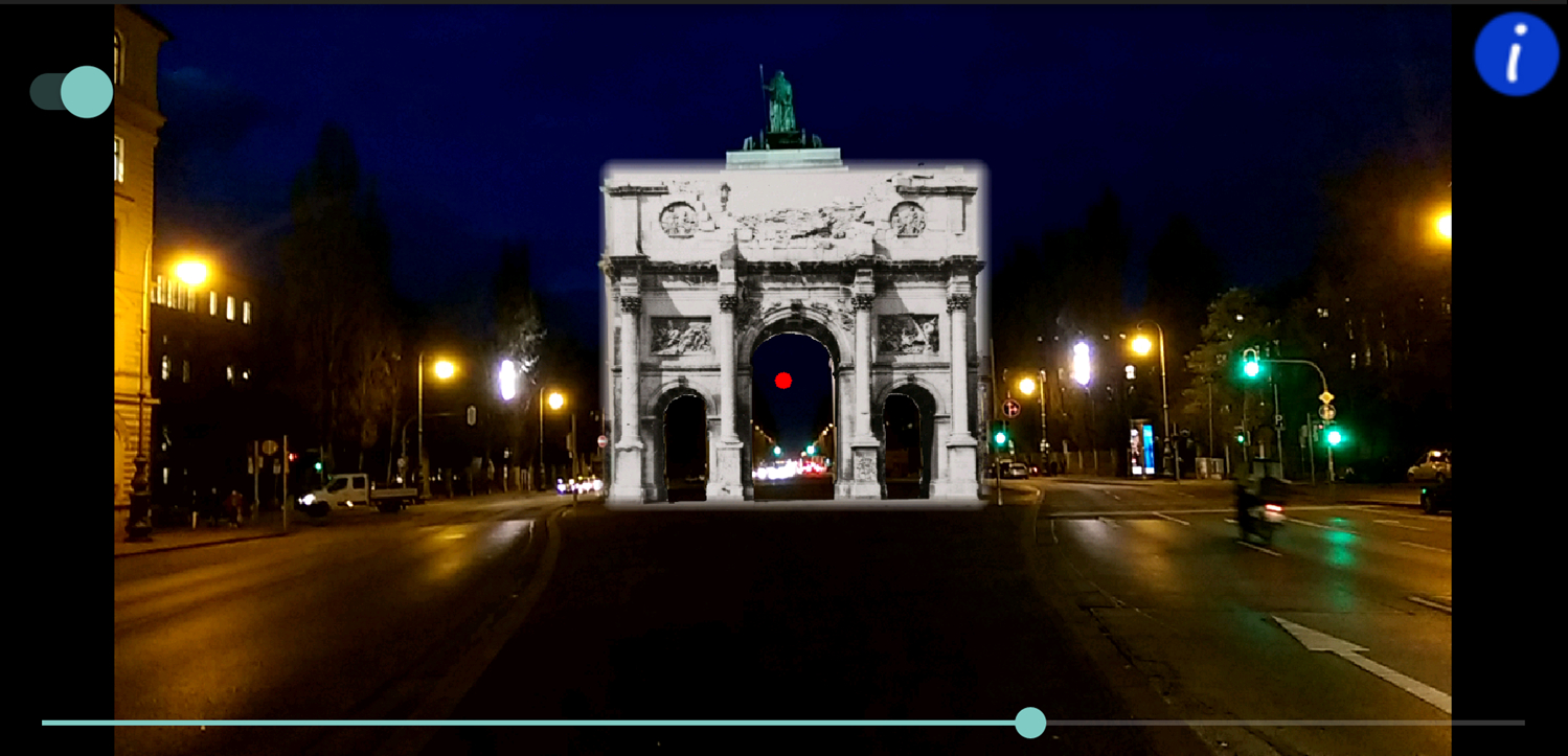
The recent increase in awareness of Augmented Reality and Virtual Reality as well as the advanced performance of smartphone hardware allow users the manifold possibility to experience history using electronic devices. Despite the existence of many projects in this application area, most of these examples are not immersive due to a lack of optical detection. The target of this master thesis is to develop a locationbased smartphone application established on optical detection techniques to augment real structures with historic content. This goal is achieved by combining GPS data, sensor data and processed camera frames. The processing of camera frames is assisted by the open source computer vision library OpenCV. As the performance of the application is crucial to its success, most of the code was written in C++. Due to time constraints, the final application is currently only able to augment two locations in Munich, the "Feldherrnhalle" and the "Siegestor". Additionally, the proposed approach attempt to be as generic as possible to simplify the process of extending the number of augmentable sites. However, as this application is confronted with significantly different illumination settings, it is not always possible to detect and track the structures.
Motivation
- People have always been interested in past events
- These events can include urban, sociologic and/or demographic changes
- Traditional media, like text, images and videos, to provide historic content is too static
- ==>"Tell me and I forget, teach me and I may remember, involve me and I learn." (Benjamin Franklin)
- Existing solutions don't assist the user, which often results in bad user experiences
Target System and Used Toolkits
- Platform: Android (ArmV7-a and min API level 15)
- Tookit: OpenCV (written in C++ to speed up computer vision calculations)
Results
Video ==>
Evaluation of "Feldherrnhalle" at daytime


